Forensic Ballistics
Forensic Application of Long Range Laser 3D Scanner
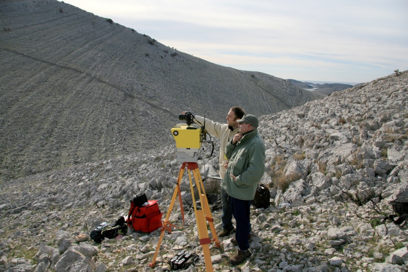
All measured points were in absolute coordinates. Scanning was performed from six different hills. Therefore, six different point clouds were used to create a single point cloud of the area of interest. Later, the point cloud data was transformed to a 3D polymesh, and then was imported into the CAD/CAM software, Maya, for various 3D reconstructions and simulations.
Link to example of application of long range laser 3D scanning to forensic 3D reconstruction of scene of crime: http://www.youtube.com/watch?v=P3M3aYPROxI